Today Pete and I took an exciting adventure — for research purposes. We went to check out potential campsites as our original location (around Jack’s River) has several barriers including washed out or closed roads to the trailhead.
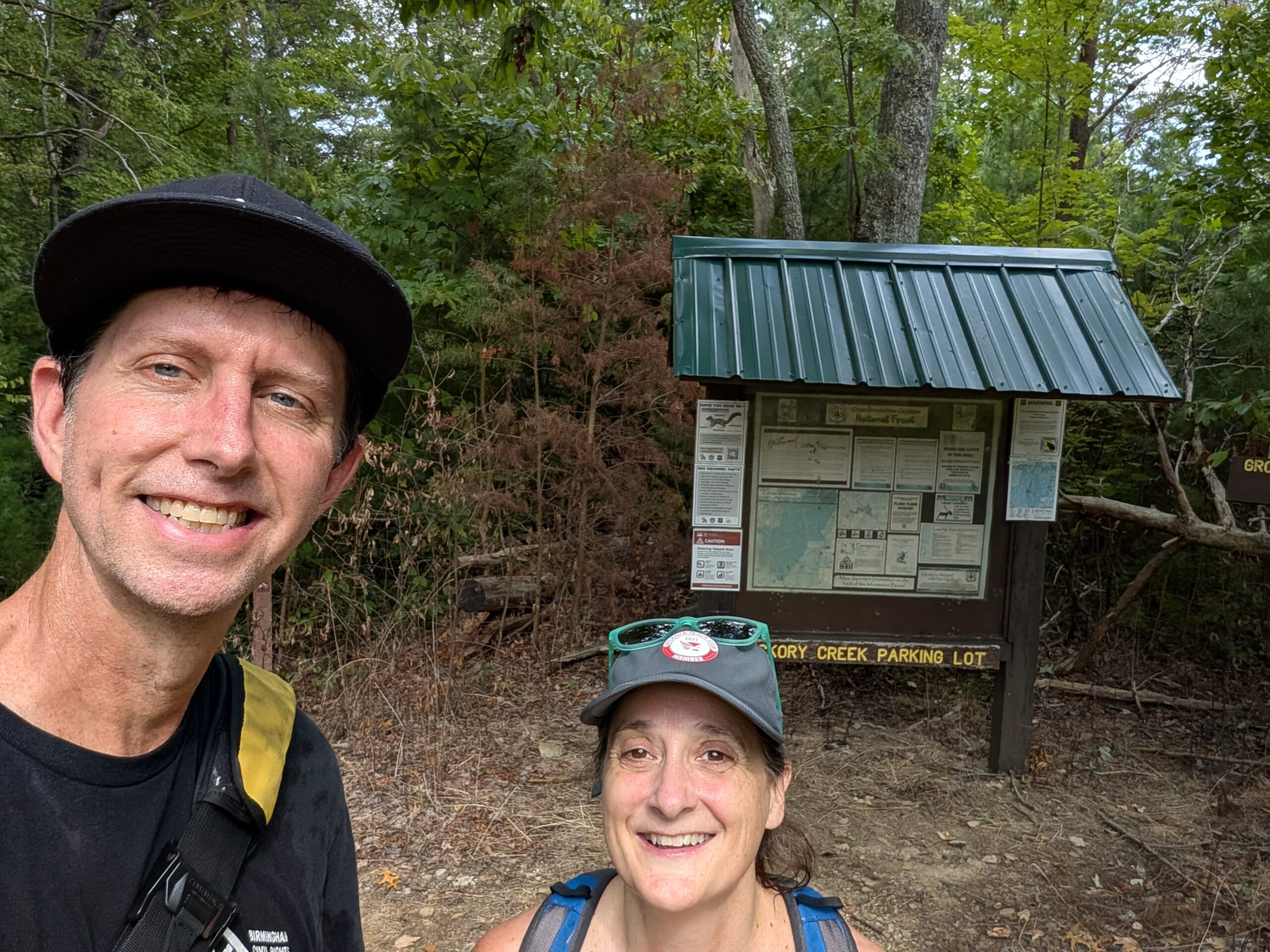
We visited Hickory Creek Trail and honestly, ya’ll, it was lovely. If I ever run away from home, that is where you will find me. Sitting next to a babbling creek with my feet in the cool water holding a smooth rock between my thumb and index finger. I love the peace, the green, the sun peeking through the trees and the way all of the chatter in my head goes silent.
We are also excited to bring people there so we want to share the deets.
–Jenn
Step One: Drive
Map to Hickory Creek Trailhead (at the end of Mill Creek Rd/Forest Service Rd 630)
We took I-75 to GA225 which is also the “Trail of Tears.” You could stop at Chief Vann’s house if you wanted along the way, but don’t stay too long. We want to get the tent set up before darkness. Pete reminds us not to take I 411 the whole way because it keeps slowing down at each little town.
Once you get on Mill Creek Road (also named Forest Service Road 630), your 40min, 10mile gravel road adventure begins!
- Mile 1: Pavement stops.
- Mile 2: A lovely sign letting us all know that we are now in the Cohutta Wilderness. That is also where we lost the GPS and phone signal.
- Mile 5: A camp ground on the right; just drive on by.
- Mile 9.5: A beautiful vista and the intersection of a couple of dirt roads; follow the one in front of you that veers to the right. It will quickly narrow into one lane and go up a hill. You’re almost to the parking lot!
Step Two: Hike
The trailhead is fairly obvious on the left, and you head downhill to the campsite.
- 17 mins in: There are three tree crossings that were pretty challenging all around but once you are passed them, it is easy going.
- 25 mins in: The trail turns 180 degrees and begins begins following the Hickory Creek below you.
- 35 mins in: You’ll see several areas for camping below you along the creek; let’s call this Site A.
- 40 mins in: The trail crosses Hickory Creek; now it’s on your left.
- Over the next two minutes you’ll pass another campsite on your left and arrive at the the intersection of Hickory Creek and the Conasauga River; let’s call this Site B.
Our plan is still for Pete and Andy to travel up on Thurs, Oct. 1, to choose the best site for the group. Everyone else is welcome to join us at any point on Fri, Oct. 2, following these directions (we’ll either be at Site A or Site B).
More pictures to come!